Nav Bar

Showing posts with label Olympus XZ-2. Show all posts

Monday, December 14, 2015

2015 Imagenes e Historias

Empezamos el 2015 pedaleando con una tribu muy especial de padres e hijos, el Koru, con apenas seis meses (ver Enero).  Y ahora, terminamos el año despidiendo al Kroka Ecuador Semester 2015, con nuestro poroto ya caminando, y una mochila llena de buenas aventuras. 
Entre estas lineas...viajamos por remotos rincones de Peru; pedaleamos y escalamos por Vermont y New Hampshire; dormimos bajo estrellas, en teepees y yurts, escapando de la lluvia y del calor de Palugo; subimos volcanes, recorrimos inspiradores paisajes del Ecuador en bici; construimos, hicimos arte, soñamos y mas que nada disfrutamos cada minuto de una perma-aventura.
!Gracias año de la Cabra! 

______________

We started this year with a very special bikepacking adventure, Koru was only six months old (see January). We wrap up the year with the farewell of the Kroka Ecuador Semester Program 2015; with Koru already walking, and yet another backpack full of good stories and adventures.
In a snippet, we bikepacked Peru's sacred valley. Climbed, hiked and rode around Vermont and New Hampshire. Climbed Ecuadorian volcanoes. Traversed the whole length of Ecuador by bike. Built. Made art. Dreamt. But most of all, we plainly enjoyed every minute of this permanent outdoor adventure.
Cheers to the year of the goat!


DICIEMBRE: Home sweet home


Monday, April 20, 2015

Abril entre cerros

Se nos escurre Abril entre montañas, 
entre piquetas, hielo y crampones, 
entre carpas, bicis y rios. 
Entre trabajo, la sonrisa del Koru y las aventuras en familia,
se nos escurre Abril...

___________________________________

Among mountains, ice axes and crampons April comes to an end,
It comes to an end in between tents, bikes and rivers.
Amongst work,  Koru's contagious smiles and family adventures, 
April is coming to an end...


-- El Sicholagua visto desde el Antisana mientras cae Don Inti / 
-- Sincholagua seen from Antisana


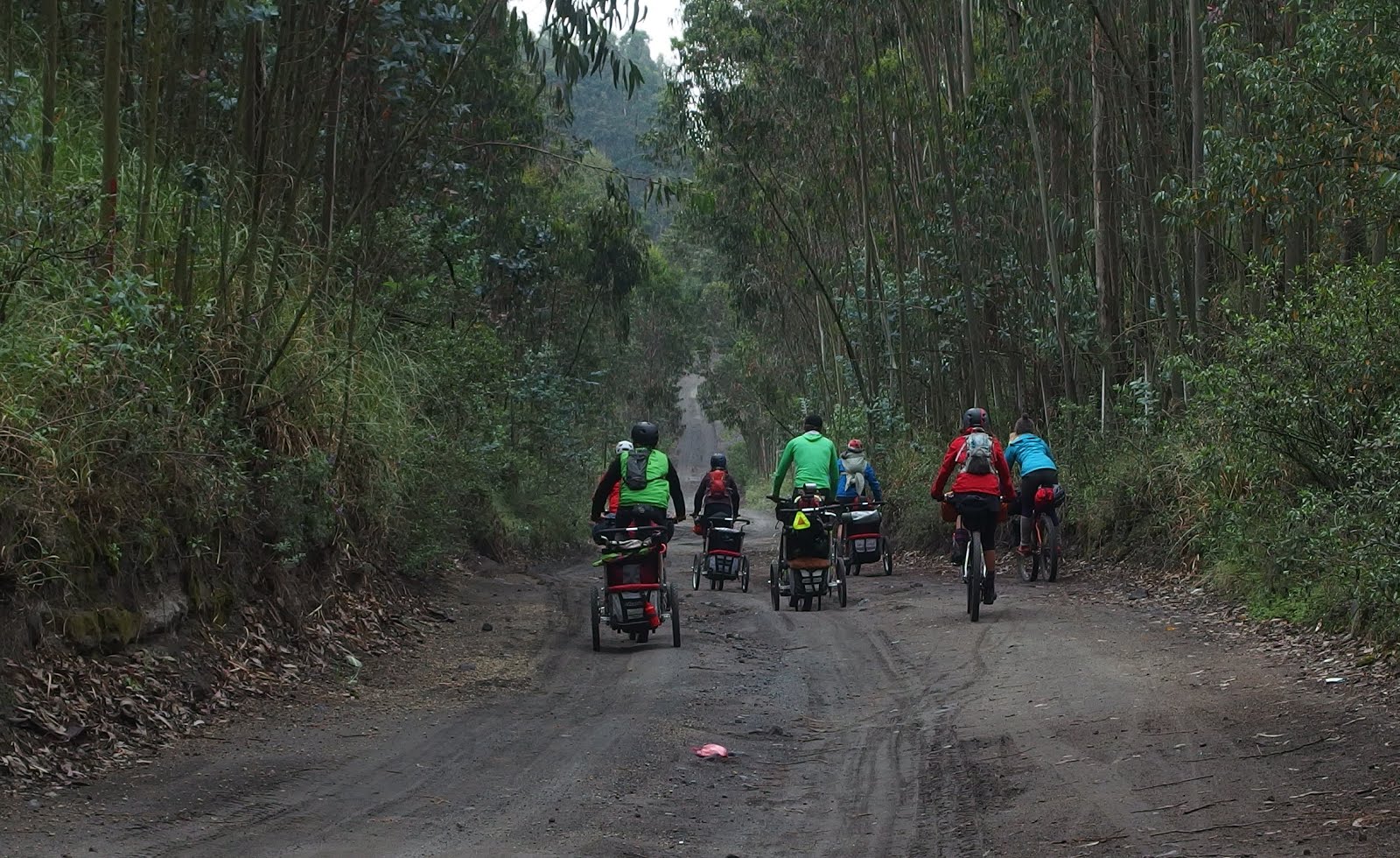
-- "Bikepacking" familiar en el PNCotopaxi / Family bikepacking at Cotopaxi National Park


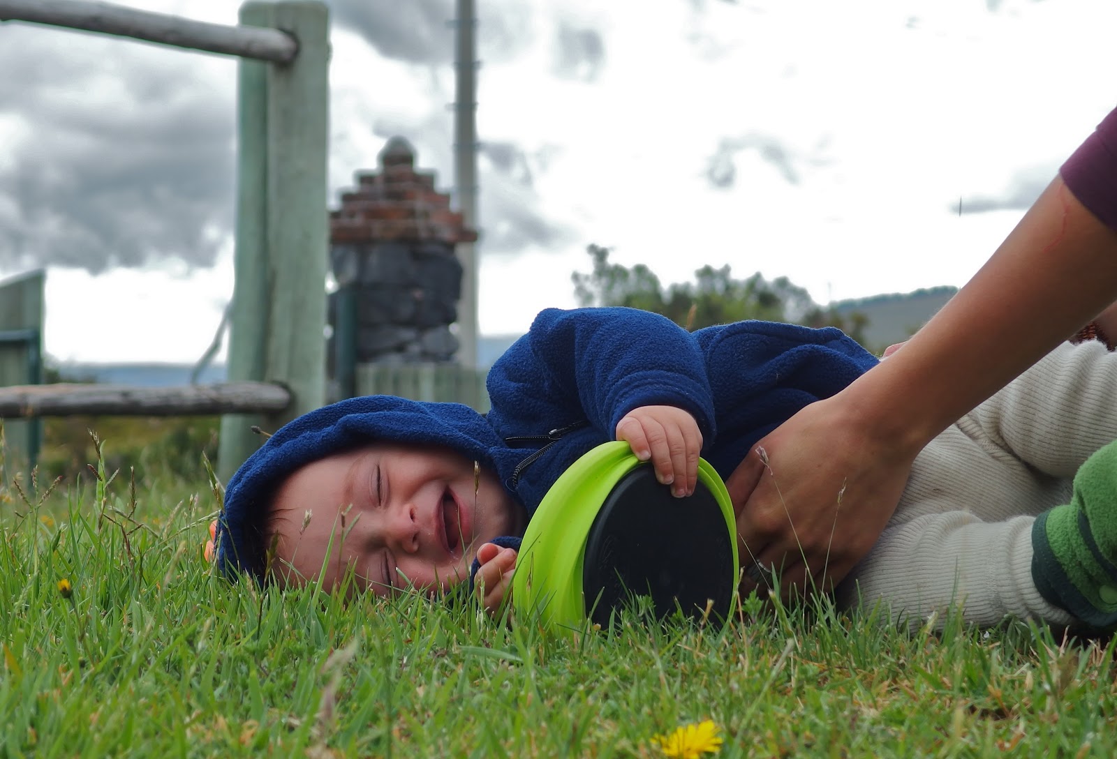
-- Gracias Sage (El Huevito) por la botella!! / Thanks Sage (El Huevito) for the bottle


Taita feliz, hijo feliz! / Happy duo


--  ... y este cono magnifico que no necesita presentación / 
-- ... and this magnificent cone that does not need an introduction


 -- Y estas maravillas que crecen entre los gigantes de hielo
-- And all this amazing shapes and colors growing amongst the ice covered giants


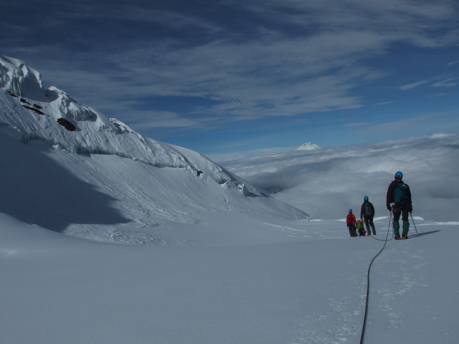
-- Crevasses on the summit attempt of Antisana (5848m). Colorado Outward Bound School Rockies to Ecuador Semester.


Tuesday, March 31, 2015

El Inga-ñan y el Sur (Sección 4 y Sección 5)


CUARTA SECCION

Ruta: De Guamote por las aristas del paramo de Cebadas a Atillo y Ozogoche. De las lagunas a Totorillas y luego por el Inga-ñan a Ingapirca (sección durisima pero hermosa). Por atras del Cojitambo a Deleg y finalmente a Cuenca.
    • Distancia (4ta Sección)210 Km
    • Distancia total Trans Ecuador: 1.300Km
    • Dias (4ta Sección): 4 dias 
    • Total de dias: 25
    • Desnivel positivo (4ta Sección): 5.870 m
    • Desnivel positivo Trans Ecuador: 34.000 metros
    • Altura maxima / Max. Elevation (4ta Sección)4.400 m
    _______________________


    FOURTH SECTION

    General Directions:  From Guamote through the high ridges of the paramo de Cebadas to reach the Atillo and Ozogoche lakes and eventually Totorillas. Follow the ancient trails of "inga-ñan" to reach Ingapirca on single track. Finished the section riding behind Cerro Cojitambo to Deleg and Cuenca.

      • Distance (4th Section): 210 Km 
      • Trans_Ecuador Total Distance: 1.300 Km 
      • Days (4th Section): 4 days 
      • Total days: 25 
      • Elevation Gain (4th Section): 5.870 m 
      • Trans-Ecuador total elevation gain: 34.000 m 
      • Highest Elevation (4th Section): 4.400 m

      (foto:Thomas Dammer)

      -- Saliendo de Guamote rumbo a las lagunas de Atillo. Para esta corta seccion se nos une "tocayo" Mike Howarth.
      -- Coming out from Guamote, heading to Atillo Lakes. "Tocayo" Mike Howarth joins for this section.


      -- Cass and Krampus


      -- Bajando al Valle del Rio Cebadas / Coming down to the Rio Cebadas Valley


      -- " Te Vendo Trucha "


      -- El Inga-ñan. Terreno pristino para las primeras ruedas en seguir estas aristas! 
      -- The "Inga-ñan". Pristine terrain for the first tracks riding this magnificent ridges!


      -- 2 dias volando a 4300 metros / 2 days flying at 4300m


      -- Amanecimos colgados de una arista a 4350 metros con cielo azul. Un par horas mas tarde llegamos a Tres Cruces y nos unirnos a las huellas del legendario "Capaq-ñan"
      -- We woke up to blue skies perched on a ridge at 4350 meters. A few hours ahead we joined the historic "Capaq-ñan" at Tres Cruces.

       (foto:Thomas Dammer) 


      (foto:Thomas Dammer)


      (foto:Thomas Dammer)

      (foto:Thomas Dammer)

      -- El filo de Azufre

      (foto:Thomas Dammer)


      -- Laguna de Culebrillas


      QUINTA SECCION

      Ruta: Salimos de Cuenca por la ciclovia del Yanuncay hasta Baños, por chaquiñanes escondidos cruzamos al camino viejo que va de Turi a Gima y a Nabon. De Nabon a Oña y a San Lucas para salir por las orillas del rio Zamora a Loja. De Loja por el Podocarpus a Malacatos y a Vilcabamba para asi terminar esta aventura de 25 dias y 1.300 kilometros de paramos andinos!
        • Distancia (5ta Sección)287 Km
        • Distancia total Trans Ecuador: 1.300Km
        • Dias (5ta Sección): 4 dias 
        • Total de dias: 25
        • Desnivel positivo (5ta Sección): 6.960 m
        • Desnivel positivo Trans Ecuador: 34.000 metros
        • Altura maxima / Max. Elevation (5ta Sección): 3.500 m
        _______________________


        FIFTH SECTION

        General Directions:  We came out of Cuenca on the trail that follows the shores of the Yanuncay River to reach Baños. Some hidden single track  took us to the old road that goes from Turi to Gima and Nabon. Oña and San Lucas followed to then take the Zamora river canyon to Loja. Up to the ridges of the Podocarpus to reach Malacatos and finally Vilcabamba. The end of this 25 day adventure that crossed 1.300 kilometers of ecuadorian highlands!
          • Distance (5th Section): 287 Km
          • Trans_Ecuador Total Distance: 1.300 Km
          • Days (5th Section):  4 days 
          • Total days: 25
          • Elevation Gain (5th Section): 6.960 m
          • Trans-Ecuador total elevation gain: 34.000 m
          • Highest Elevation (5th Section): 3.500 m
          -- Mapas  / Looking at Maps (Cuenca)


          -- Nabon-Oña


          -- Taller de Bicis / Local Bike Shop (Deleg)


          -- Quebrada que fluye al encuentro con los nacimientos del Rio Zamora (Loja) / 
          -- "S" shaped ravine flowing into the headwaters of the Zamora River (Loja)


          -- Lodo marca "podocarpus" / Podocarpus mud!


          (foto:Thomas Dammer)


          -- Adobes (Malacatos)


          -- Con esta foto se termina en Vilcabamba una aventura deliciosa, llena de encuentros mágicos sobre estos caballitos de dos ruedas que trazaron el Trans Ecuador. Gracias a estos porotos y sus Mamas que nos cubrieron la espalda a lo lejos.
          -- With this photo we end at Vilcabamba a delicious adventure riding on this two wheeled horses. As a result we drew a line that weaves together the "Trans Ecuador". Thanks to those "wee" little kids and their Mamas that covered our backs from the distance as we rode.