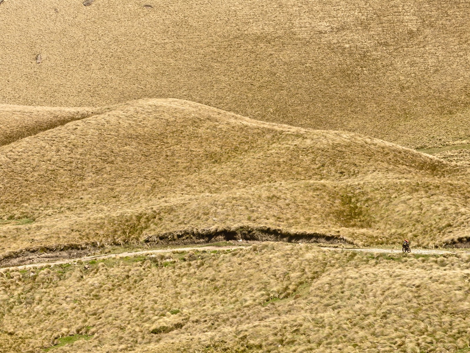
Nos fuimos en busca de un chaquiñan pre-incaico que alguna vez escuchamos baja desde los altos de Tocazo hasta Sigchos. Desde ahi, la misión era volver a subir a la cordillera por el Quilotoa y Guangaje para regresar al punto de partida. De ser posible todo el trayecto buscaría --en la medida de lo posible-- senderos y caminos poco transitados. El tiempo estaba limitado a dos días completos. La tropa de aventura incluía a Rupango (el perro) y cuatro bicis, una 29+, una 27.5+ y dos 29" con llantas 2.4. La carga al mínimo y con la idea de que eventualmente la bici subiría a la espalda (siempre sucede!)
En resumen: Encontramos el sendero, sorprendentemente es pedaleable casi en su totalidad, una verdadera joya!. El resto de la vuelta es alcanzable, pero demanda mas tiempo del que esperábamos (nos toco jalar dedo una sección). En la noche nos robaron una bici que mas tarde recuperamos, un buen recordatorio de que los choros mal intencionados andan hasta en los paramos. La zona de Guangaje es un paraíso para ciclear y mas aun acompañado de buenos panas. Salud!
Mas sobre esta zona: http://eltaraumara.blogspot.com/2013/11/hike-bike-en-el-quilotoa.html
____________________________________________
We left the farm with the intention of finding a pre Incan trail that drops from Toacazo to Sigchos (in the heart of the ecuadorian Andes). From Sigchos we wanted to weave our way up the mountains passing through Quilotoa and Guangaje to finally close the circle where we started. When possible our loop will favor single track and remote double track instead of bigger and generally easier roads that abound on the area. Time wise we where limited to a short but powerful overnighter.
The crew included 4 bikes (one 29+, one 27.5+ and two 2.4' 29ers), Rupango (the dog) came along as well. We packed light considering that the terrain will be fairly technical and that some hike a'bike was out of question (it always is...).
To Summarize: The trail is there, it was not easy to find but once on it it was a gem. Mostly rideable and pretty espectacular. The rest of the loop has amazing riding possibilities as well. Two days is not enough, we had to hitch a ride to gain some km in order to finish. You can easily take 3-4 days to close the loop. One of our bikes was stolen overnight only to be found later hidden on some bushes, a good reminder that even on remote areas there are bitchy people. The area in general has a lot to offer for bikepacking adventures whether you are passing by or looking for a short loop. Cheers!
More on this area: http://eltaraumara.blogspot.com/2013/11/hike-bike-en-el-quilotoa.html
-- Las llantas gorditas y gordotas tienen un espacio en tierras ecuatorianas, especialmente en arena.
-- Plus tires and fat tires have some room in the equator when you hit the sand.
-- Los chaquiñanes antiguos tienen unos trazados alucinantes. Estoy empezando a pensar que eran cicleros.
-- Pre incan singletrack. Iam starting to think that these guys actually knew about mountain biking!
-- Pre incan singletrack. Iam starting to think that these guys actually knew about mountain biking!
-- Mathias and Rupango on bikepacking mode.
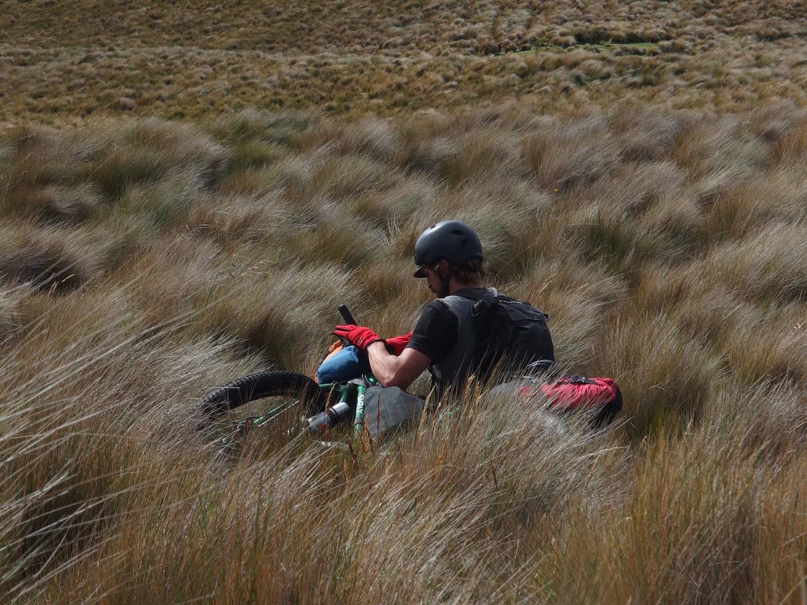
-- Un poco de esto siempre te enseña un poco de humildad.
-- Off course some of this...
-- Off course some of this...
-- por suerte se compenso con secciones largas de sendero de alta calidad.
-- ... and lots of fine quality single track
-- ... and lots of fine quality single track
-- En la mañana no todo fue sonrisas. Algun choro de paramo se llevo una bici que encontramos despues escondida en unos matorrales. Uff!
-- Morning was not all smiles. We woke up to a missing bike and its gear. Found it later hidden on some nearby bushes.
-- Morning was not all smiles. We woke up to a missing bike and its gear. Found it later hidden on some nearby bushes.
-- Mate, Machica y cerelac de desayuno.
-- Mate, Machica and baby food for breakfast
-- Mate, Machica and baby food for breakfast
-- Este cruce de rio marco el inicio del segundo dia.
-- A river crossing will mark the begginig of what turn out to be an epic day of riding.
-- A river crossing will mark the begginig of what turn out to be an epic day of riding.
-- De todo un poco, pavimento, harto lastradito pequeño, senderos, parameadas, altura y rematamos con linternas en la noche para terminar el dia.
-- Everything included... pavement, double track, no track, single track, high altitude and night riding to wrap up the day.
-- Everything included... pavement, double track, no track, single track, high altitude and night riding to wrap up the day.
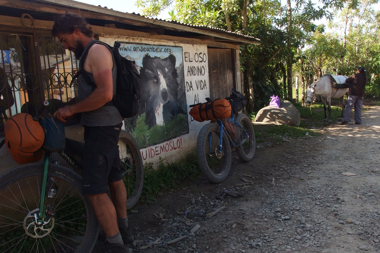
-- Entre medio del pedal, un poco de papas con pollo, empanadas de viento y Pilsener ayudan a aflojar las piernas.
-- In between we enjoyed some local food, met some new friends and grabbed a few Pilsener's to ease out the gradient of the climbs.
-- In between we enjoyed some local food, met some new friends and grabbed a few Pilsener's to ease out the gradient of the climbs.
-- Por motivos de fuerza mayor toco apilarse con bicis, perro y pedaleros en una de alquiler. Fast forward al paramo...
-- Due to time constraints we had to hitch a ride. Four bikes, Rupango and a bunch of tired riders pilled up on one tiny truck to make some fast forward progress.
-- Desde Huayrapungu parameamos de lo lindo. Frio, jueerrrtee, pero rrreeecccooo!
-- From there, it was all high altitude riding on steep, strenuous, cold but super rewarding terrain.
-- El olvido de los mapas por parte del Jefe de Proyecto Aventura (alias Fofito) obligo a confiar en la questionable habilidad de los paisanos para dar direcciones.
-- The lack of maps made us rely on local knowledge. As it can be an asset. sometimes it means real trouble. My country mates are the worst for giving direction. (myself included)
-- De regreso a la camioneta a las 9 d ela noche despues de 48 horas y 120 km de pura aventura bikepackera!. Salud.
-- Arrived back to the truck at 9pm, after 48 hours and a 120 km of pure adventure. That makes a great #powerovernighter! Cheers.


